

Základní údaje
| rok | 1790 |
Popis
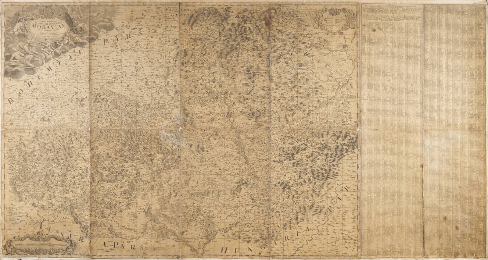
1790
Copper engraving on paper, laid down entirely on canvas, 190.4x101.7 cm (194.5x105 cm). "Tabula Generalis Marchionatus Moraviae in sex circulos divisae quos Mandato Caesareo accurate emensus hac mappa delineatos exhibet Ioh. Christoph Müller S.C.M. Capitane". In the upper left corner, a title cartouche with the provincial coat of arms and allegorical figural decoration. In the upper right corner, an ornamental cartouche with the legend. In the lower left corner, an ornamental cartouche with the scale. On the right, a geographical index of the depicted settlements. In German.
On the edges of the canvas, holes from tacks used to fasten it to a stretcher frame; losses in the corners of the individual sheets, yellowed paper, foxing, especially in the section with the legend.
