
#24

Johann Christoph Müller
(1673 – 1721)

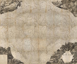
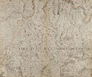
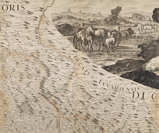
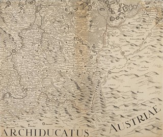
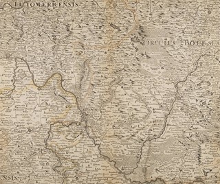
MÜLLEROVA MAPA ČECH

MÜLLER`S MAP OF BOHEMIA
#24

Johann Christoph Müller
(1673 – 1721)

MÜLLEROVA MAPA ČECH

Rok
1720 - 1723
Starting price
19 000 Kč
Aukční dům Zezula, s.r.o.
Login to limit

Basic info

rok
1720 - 1723

About

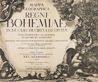
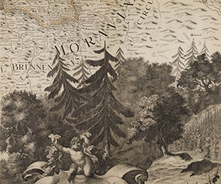
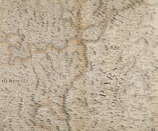
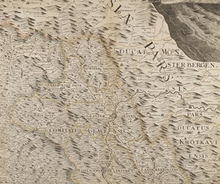
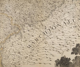
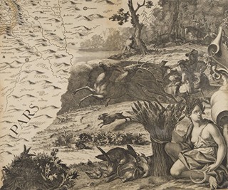
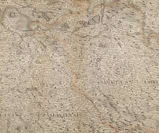
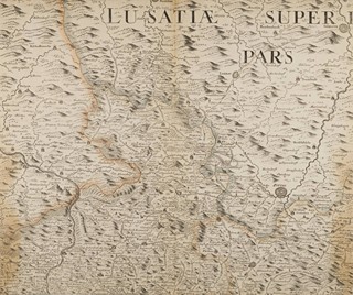
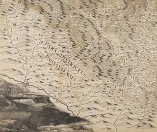
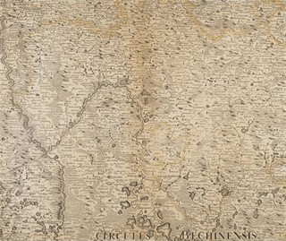
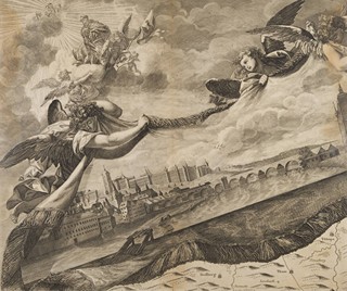
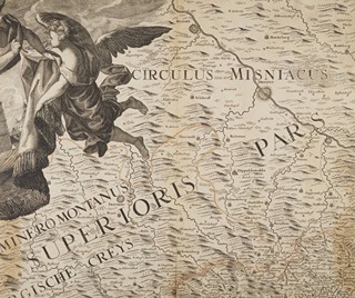
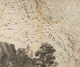
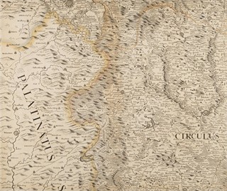
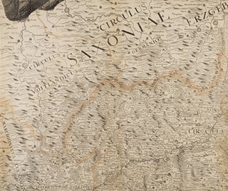
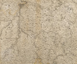
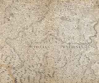
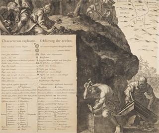
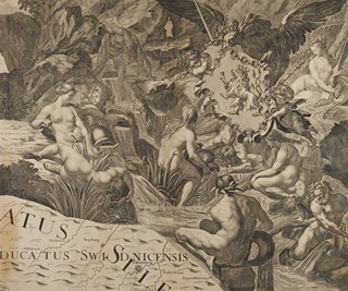
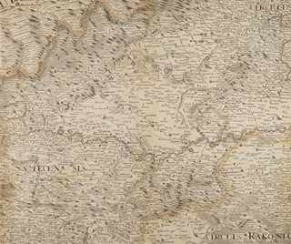
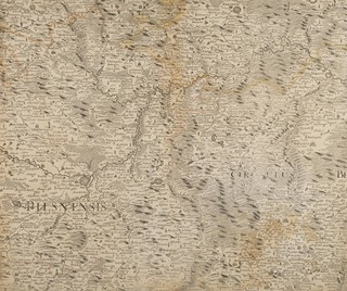
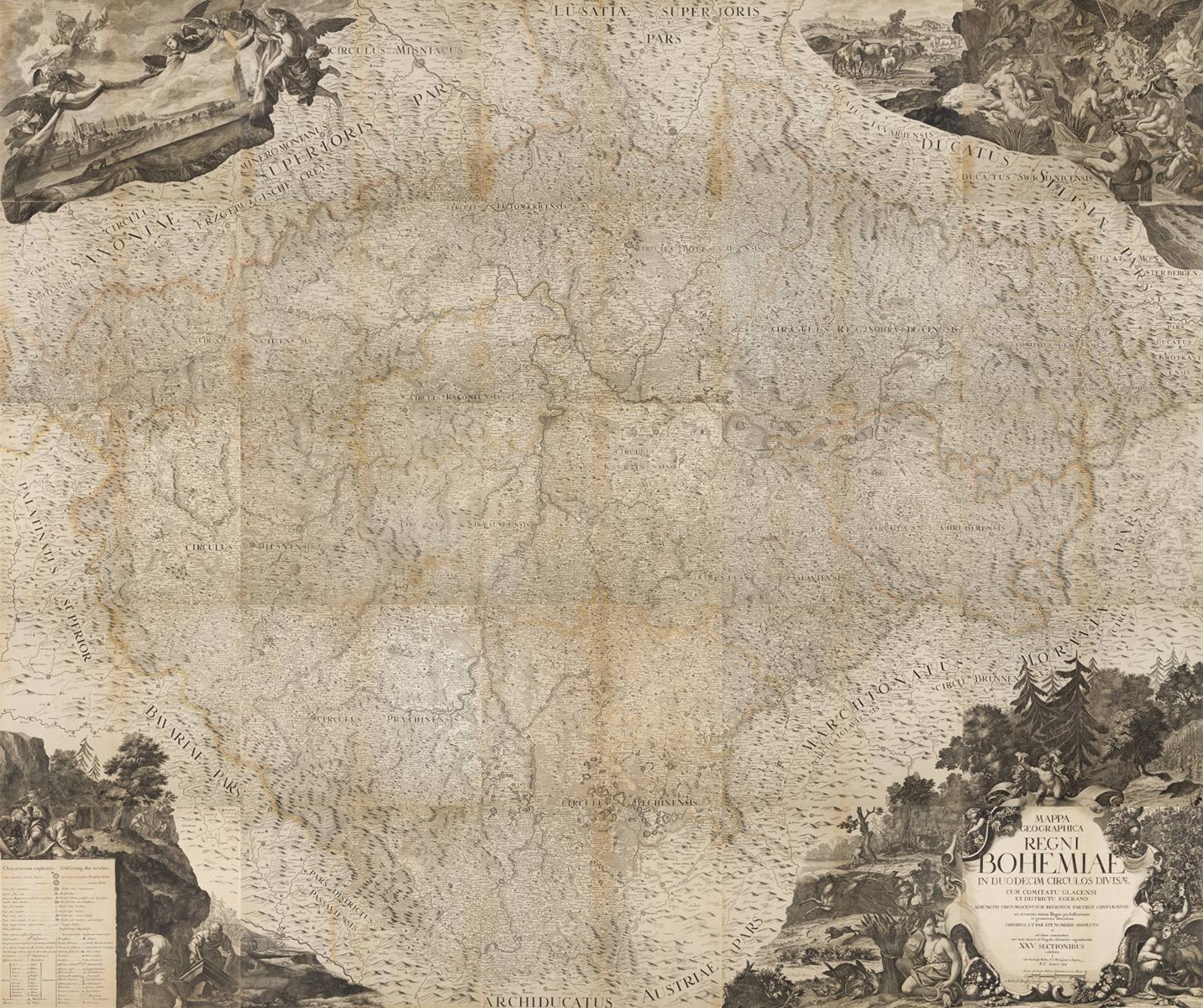
"Mappa geographica regni Bohemiae in duodecim circulos divisae cum comitatu Glacensi et districtu Egerano adiunctis circumiacentium regionum partibus conterminis ex accurata totius regni perlustratione et geometrica dimensione omnibus, ut par est, numeris absoluta et ad usum commodum nec non omnia et singula distinctius cognospenda XXV sectionibus exhibita a Joh. Christoph Muller, S.C.M. capitan.et ingen A.C.MDCCXX". 25 copper-engraved sheets, each in two parts, on paper, numbered on the reverse with Roman numerals I-XXV. Sheet dimensions 53.9x45.6 cm (approx. 9 mm trimmed from each side). Borders and country roads are marked in orange, yellow and grey/green.

You might also like

Explore more items from this selection, guaranteed to stimulate your senses and spark your imagination.
Show the entire selection